
What Vernon Township Neighbor Records Show
Records around a Vernon Township address reveal parcel and public-record roles, not a universal roster of neighbors. The county map layer starts with parcel geography. Property material may identify an assessed owner, subject to transfer timing and required redactions. The deed index can connect adjacent tracts through a legal description, shared grantor, subdivision map, or easement. Election records have statutory boundaries, and community organizations publish public identities or contacts rather than a comprehensive membership list. Use each source for the question it can actually answer.
| Source | What It Shows About a Block | Access |
|---|---|---|
| Sussex County GIS maps | Parcel polygons, location context, and nearby parcel geometry | Interactive map browsing; exact live controls vary |
| Tax and property path | Assessed owner, mailing clue, block, lot, classification, and assessment context | County or state pathway and local tax maps; annual-list, transfer, and redaction limits apply |
| RecordsNG land index | Parties, document type, recording date, legal description, book or page placement | Online deeds, mortgages, and maps from 1950; older records at the Records Room |
| Registration route | Limited person-level confirmation or a lawful election-district request | State form and Sussex County Board of Elections; not a block roster tool |
| Lake and civic groups | Public community names, association status, and published contact routes | Township organizations material and public municipal references; no member roster located |
An owner name is not the same as an occupant name. A tax mailing address can belong to a post office box, representative, or a person outside Vernon Township. A voter record, when available within the law, describes registration rather than every person at an address. Those distinctions keep a neighbor lookup grounded in the record rather than an assumption.
Vernon Township Neighbor Parcel Maps
Sussex County confirms interactive GIS maps, open-data browsing, and a Tax Parcel Document Viewer tutorial. The documented map path supports address or location searching, parcel selection, and map browsing. The exact dynamic field labels and layer list were not fully captured in the research, so a search should follow the current map screen instead of assuming a control name. A selected parcel can provide a block and lot plus geometry that can be compared with the polygons that touch or surround it.
The Sussex County GIS Management page is the official source for the mapping service and viewer guidance.
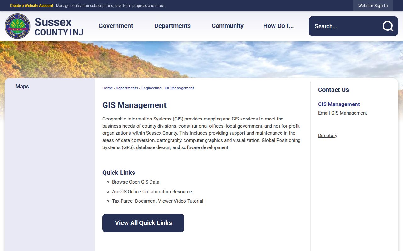
Use the GIS entry point to establish parcel geometry first, then retain the map date when comparing it with a property record or recorded instrument.
County map links provide another official route to the interactive mapping resources. They are particularly useful when a Vernon Township road is near Wantage, Hardyston, West Milford, or Warwick Township, New York, where a place label and a legal jurisdiction can differ.
The Sussex County map page links the county’s mapping resources for this geography check.
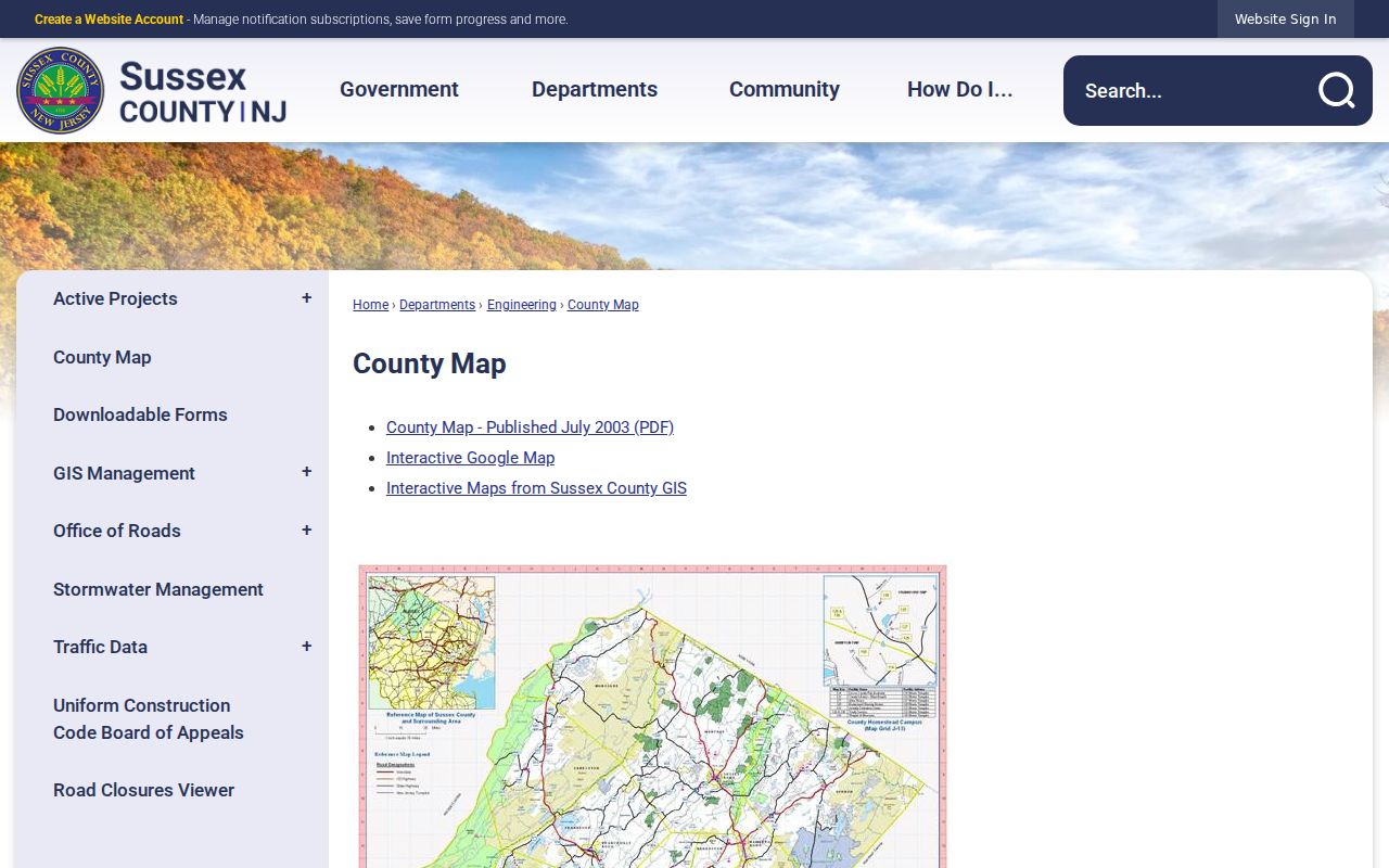
The county map route supports visual parcel comparison, but it does not document a named radius or buffer search tool for Vernon Township.
Note: A map polygon is a parcel boundary reference, not proof of every current household member connected to the parcel.
Map a Vernon Township Block
The documented adjacent-parcel method is a click-and-browse process. In rural roads and lake communities, the useful unit may be several touching parcels rather than a compact city block. Keep each property’s physical location, owner field, mailing field, block and lot, and legal description in separate notes. This prevents a correspondence address or a shared road name from being treated as a residence statement.
- Search or navigate to the target address in the Sussex GIS map, then select the target parcel.
- Save the parcel’s block and lot, geometry, map date, and any available tax or document link.
- Identify touching or immediately surrounding parcel polygons by map browse. For each, use the same block-lot route in the county or state property layer.
- Compare owner names, mailing addresses, classification, and legal descriptions only as separate fields. Keep a lake-community label together with the road address.
- Search the Sussex County land index for adjacent deeds, a common grantor, road easement, parent tract, or subdivision map when the geometry needs context.
RecordsNG supports party, document-type, instrument-number, book-page, and recorded-date approaches. Its date is the date received by the county, not necessarily the signing or closing date. The online range reaches deeds, mortgages, and maps from 1950, while older deed documents are available through the Records Room back to 1785. Vernon tax-map work has its own fallback sequence: key map, detailed key map, then the tax-map sheet that supplies the block and lot. For a full named-street trail rather than the immediate parcel group, use the Vernon Township streets resource.
Vernon Township Neighbor Address Fields
The most common neighbor-search mistake is merging fields that mean different things. Situs is the physical parcel location. A tax mailing address is where tax correspondence is sent. A deed legal description identifies the land by block and lot, subdivision, or metes and bounds. A construction permit can identify an applicant or representative connected to regulated work. Each can be useful, but none converts the other into a claim about who currently lives at the address.
- Parcel
- A mapped unit of land identified in local tax and map records, often through a block and lot.
- Situs address
- The physical location of the parcel. It is distinct from the owner’s mailing address.
- Legal description
- The deed’s formal land description, which may outlast a road label or postal format.
- Grantor and grantee
- The parties transferring an interest in a recorded instrument. Their roles identify the transaction, not a current household.
The New Jersey property and NJGIN paths accept address, county, municipality, block, lot, and owner-based searching where the public record permits it. Their live Vernon field labels were not captured, and Daniel’s Law can suppress owner names. Date the property result because the tax list is an annual January snapshot and a later transfer may not yet appear.
Vernon Township Neighbor Voter Visibility
N.J.S.A. 19:31-18 allows a registry list with name, residence address, date of birth, party affiliation, and voting history, subject to protected-person rules. The broader statewide election system has more administrative fields, but that is not a promise that they are publicly visible. Ballot choice is never exposed. Signatures, full registration forms, identifying numbers, and protected addresses remain outside a normal public-display assumption.
The public registration check is meant for a known person. It does not provide a “show everyone nearby” function. For a lawful list request, contact the Sussex County Board of Elections with Sussex County, Vernon Township, the election district or street, the year if relevant, list type, and delivery method. N.J.S.A. 19:31-18.1 governs copies and prohibits commercial or charitable solicitation use. The cited law states a $0.25 per-copy charge for a list of each election district, but the research did not confirm the current Sussex delivery format or total fee.
Note: A protected or substitute address can be omitted from an ordinary display without establishing anything about the person’s Vernon Township connection.
Vernon Township Neighbor Community Contacts
Vernon’s six private lake communities create a second layer of neighborhood identity beside a road or parcel line. Resolution 23-244 names these qualified private communities, and township material provides a public association identity or meeting reference. It does not establish public member directories. A community name can help interpret maps, local notices, or historical material, but it should not be treated as proof that a person belongs to an association.
| Community or group | Publicly documented status | Available access |
|---|---|---|
| Hidden Valley Property Owners Association | Named private lake community in Resolution 23-244 | Public identity and municipal meeting references; no member directory located |
| Highland Lakes Country Club and Community Association | Named private lake community | Public organization name; no membership or contact directory verified |
| Lake Community Property Owners’ Association | Barry Lakes association in the township’s community list | Public name only; no private list located |
| Lake Panorama Community Association | Named by the township as a private lake community | Public name; no member directory located |
| Lake Wallkill Community and Village of Lake Glenwood | Named private lake communities in municipal references | Public names and bylaw or municipal references; no public roster located |
| Vernon civic groups | Library friends, Rotary, historical society, Chamber, PAL, EMS, VFW, Woman’s Club, and auxiliaries | Township-published public contact leads, not membership rolls |
The Vernon organizations page is the appropriate source for public civic contacts and group identities.
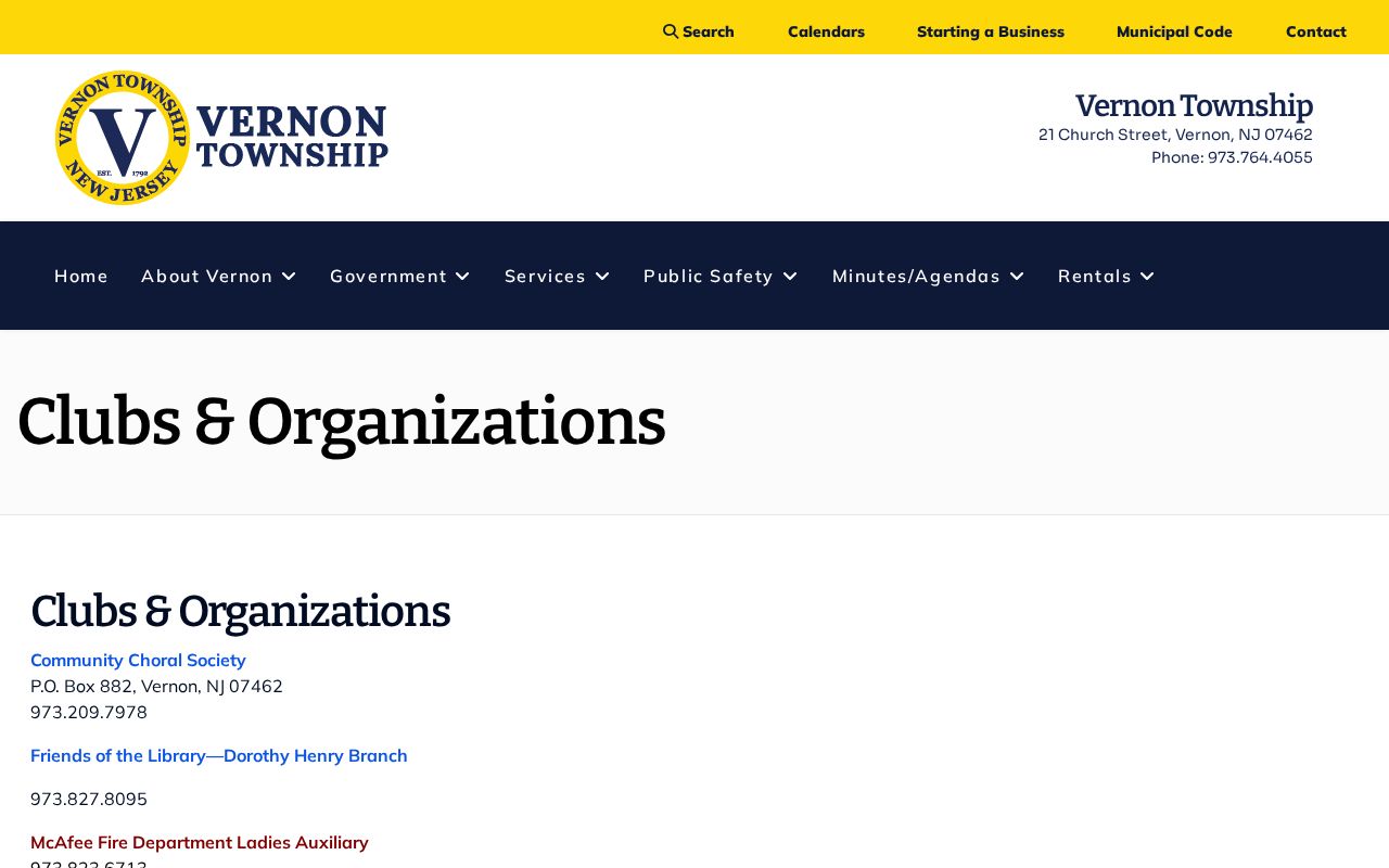
Public group contacts can help reach an organization or locate community history sources without claiming access to members’ private information.
Why Vernon Township Neighbor Blocks Differ
A Vernon Township block can be a road segment, a lake community, or a cluster of rural parcels. Glenwood, Highland Lakes, McAfee, Vernon Valley, Barry Lakes, and Lake Wallkill are current community names, while the master plan adds other villages, hamlets, and place labels. This geography is a practical search quirk. A map, tax record, postal label, and deed can use different combinations of road, lake, township, and nearby post-office names for the same area.
The Vernon Township community overview names the current community geography used to orient an address search.
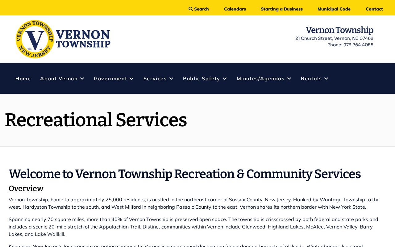
Keep the community label with the verified road and parcel identifiers, especially near the township’s county and state borders.
Official Records and Vernon Township Neighbor Tools
Official parcel, deed, election, and association sources each identify their custodian, date, and scope. They can be slow, incomplete, or restricted, but they make it possible to confirm the role a field represents. Commercial neighbor-search tools are a different category. They may combine address histories, purchased data, and public extracts. Their records can be stale or merged, and they do not replace a current GIS map, property record, recorded instrument, or protected-person rule.
| Source type | Useful for | Key limit |
|---|---|---|
| Official parcel and tax paths | Parcel identity, assessed ownership role, map date, and block-lot work | Annual timing, transfer lag, and privacy redactions |
| Official deed and map records | Transaction parties, legal descriptions, easements, and subdivision history | Recording role does not establish present occupancy |
| Official elections and community contacts | Limited registration confirmation or public group identity | Use restrictions, protected addresses, and no public member roster |
| Commercial neighbor-search category | Possible lead that requires independent checking | Potentially stale, mismerged, incomplete, or difficult to correct |
That comparison is most useful when a result conflicts with the map. Date the official source, preserve its field label, and seek a second official record before repeating a connection. A missing or suppressed record should never be used to claim that a person is absent from Vernon Township.
Vernon Township Neighbor Record Requests
When a map or index stops short, make a focused request under the New Jersey Open Public Records Act, N.J.S.A. 47:1A-1 et seq. Ask the correct custodian for the parcel address, block and lot, record type, and date span. A deed, tax record, permit, municipal-lien search, or election-record request should identify the specific material sought and the preferred delivery method. OPRA generally calls for a response within seven business days, subject to notice, exceptions, redaction review, and any permitted additional time.
Sussex County’s documented form provides options for inspection, mail, fax, and email, with a maximum authorized cost and specific description. Copy charges documented in the research are $0.05 for letter-size pages and $0.07 for legal-size or larger pages, plus actual or special-service costs where applicable. Vernon’s own OPRA process is appropriate for township-created records. An inspection request can be a useful fallback when a copy is unnecessary.
Vernon Township Neighbor Lookup Limits
Some neighborhood information is intentionally unavailable. The research did not locate a public list of renters or all household members in a Vernon Township house. Utility and delivery customer records are not public datasets in the research. DMV information is restricted by the Driver’s Privacy Protection Act. Court material can be sealed, expunged, juvenile, or otherwise protected. New Jersey’s Address Confidentiality Program and Daniel’s Law can substitute or suppress home addresses, while NJGIN notes required owner-name redactions in its mapped and tax data.
A historical deed, newspaper, or directory can still contain an older address even when a current record is protected. Handle that material carefully and preserve the date and source. If an address is not publicly displayed, describe that limit accurately rather than making an absence claim. Corrections belong with the record custodian that created the source material.
Lawful use. Use Vernon Township neighbor records for lawful personal research only. Do not use map, address, or record information to stalk, harass, intimidate, or harm another person.