
Walk Vernon Streets by Address
Start with the address itself, then preserve each identifier that the next record system uses. Vernon Township sits in a rural, lake-community, and border-oriented part of Sussex County, so a postal community label can differ from the township jurisdiction on a tax record. A sound search moves from an address to the parcel and then to the recorded document. It does not turn a single owner field into a list of everyone in a household.
- Use the USPS address lookup to check the street spelling, unit, city, state, and ZIP presentation. Its result confirms postal formatting only.
- Open the Vernon Township tax maps in order: key map, detailed key map, then the relevant tax-map sheet. Record the block and lot.
- Use the county or state property path to compare the physical parcel location, assessment context, and owner field where it is publicly displayed.
- Browse the county GIS map for parcel geometry, road context, and adjoining polygons. Save the map date with any notes.
- Search the current owner or a known recorded party in Sussex County RecordsNG, then use the legal description and earlier parties to distinguish similar names.
- For a known person, use the official state registration check or ask the Sussex election office about a lawful election-district or street request. Do not infer a complete household from a voter or owner result.
That sequence gives Vernon Township streets a repeatable record trail: postal form, tax-map location, parcel identifiers, recorded instrument, and limited registration confirmation. Each stage can correct the one before it. It also leaves room for a result to be incomplete because a record is annual, historical, protected, or simply maintained by another custodian.
Vernon Address Records by Street
Address-keyed sources in Vernon Township have different functions. The tax map supplies geometry and identifiers. The property tools add assessment context. The deed index follows recorded parties and legal descriptions. A building record can date a regulated project, while election records have their own statute and access limits. Use the source that matches the question, and label the role it actually shows.
| Address source | Search key | What it can establish | Boundary to keep |
|---|---|---|---|
| Vernon tax map | Key map, sheet, block, lot | Parcel geometry and map labels | It is not a complete occupant list. |
| NJ Property Explorer | Address, county, municipality, block, lot | Owner where available, assessment, classification, prior-year taxes | It is an annual January list and may lag a transfer. |
| Sussex GIS | Map browse and parcel selection | Parcel outlines, location layers, and possible tax-link path | Its full live layer and tool list was not captured. |
| RecordsNG deed index | Party, document type, date, instrument, book/page | Recorded transfer parties, dates, and legal descriptions | Electronic deeds, mortgages, and maps begin in 1950. |
| Voter records | Known-person check or formal list request | Limited registration information as law permits | Forms, signatures, IDs, and protected addresses are controlled. |
| Building and planning records | Address, permit number, date | Work, inspection, and certificate context | Live SDL field labels and earliest digital coverage were not located. |
| Historical newspapers or directories | Street, community, surname | Past moves, notices, and community references | No confirmed Vernon reverse-directory run was located. |
A mailing field requires special care. A tax card can show an owner’s correspondence address, while the situs field identifies the physical parcel. The former is a tax-mailing clue, not proof that the person lives at the Vernon Township property. A recorded deed can carry neither modern postal address nor current household information, but its legal description may be the strongest way to keep the parcel trail intact.
Open Vernon Tax Maps Carefully
Vernon Township’s tax-map sequence is the local bridge from a road address to the identifier used by assessment and deed records. Begin at the key-map index, move to the detailed key map, and then open the map sheet for the parcel. Note the block and lot exactly as shown. The research did not establish a universal local punctuation rule, so a leading zero or hyphen should never be removed by guesswork.
- Block and lot
- A county and municipal parcel identifier used to place land on a tax map. It is often more stable than a street search.
- Situs address
- The physical location of a parcel. It is different from the address where tax correspondence is sent.
- Tax-mailing clue
- An address used for correspondence about an assessed parcel. It can be outside Vernon Township and does not establish residence.
- Legal description
- The land description in a recorded instrument, such as lot and block, subdivision language, or metes and bounds. It helps carry a search through older records.
For Vernon Township street work, preserve the community label too. Glenwood, Highland Lakes, McAfee, Barry Lakes, Lake Wallkill, and Vernon Valley can appear in an address trail even when the tax jurisdiction is Vernon Township. That local geography is a useful disambiguator when a road, route, or postal label points toward a neighboring place.
Vernon Street Directory Parcel Fields
The verified state and county property path supports an address or location search, then county, municipality, block, and lot filters. Select Sussex County and Vernon Township where the tool provides those choices. NJ Treasury describes results that can include location, owner where available, assessed land value, assessed building value, prior-year taxes, and classification. The research did not capture a live Vernon result card, so field labels that depend on the dynamic viewer should be checked on the current screen.
| Verified field | Type | Use in a Vernon search |
|---|---|---|
| Address or location | Text or map search | Begin with the standardized street address or map location. |
| County | Filter | Select Sussex before narrowing to Vernon Township. |
| Municipality | Filter or text | Use Vernon Township when available. |
| Block and lot | Text | Carry these exactly from the Vernon tax map. |
| Owner | Text or result field | Use as an assessed-owner path, subject to redaction. |
| Assessment and classification | Result fields | Read as annual assessment context, not a current market statement. |
The NJGIN parcel materials describe the address, county, municipality, block, and lot approach used for New Jersey parcel data.
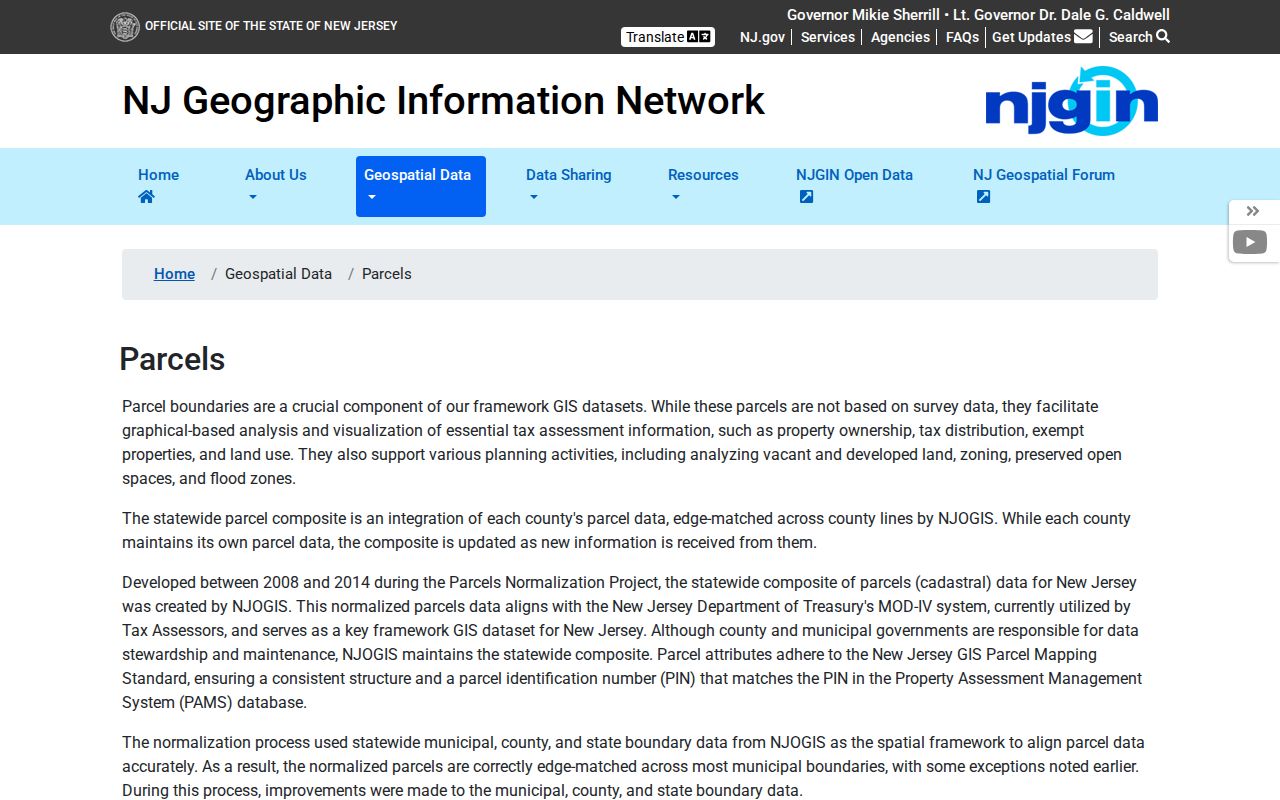
NJGIN also warns that hosted owner names can be redacted for people covered by Daniel’s Law, so a blank owner field does not prove that the parcel lacks an owner record.
The New Jersey Property Explorer is the state-facing path for comparing property data and annual assessment context.
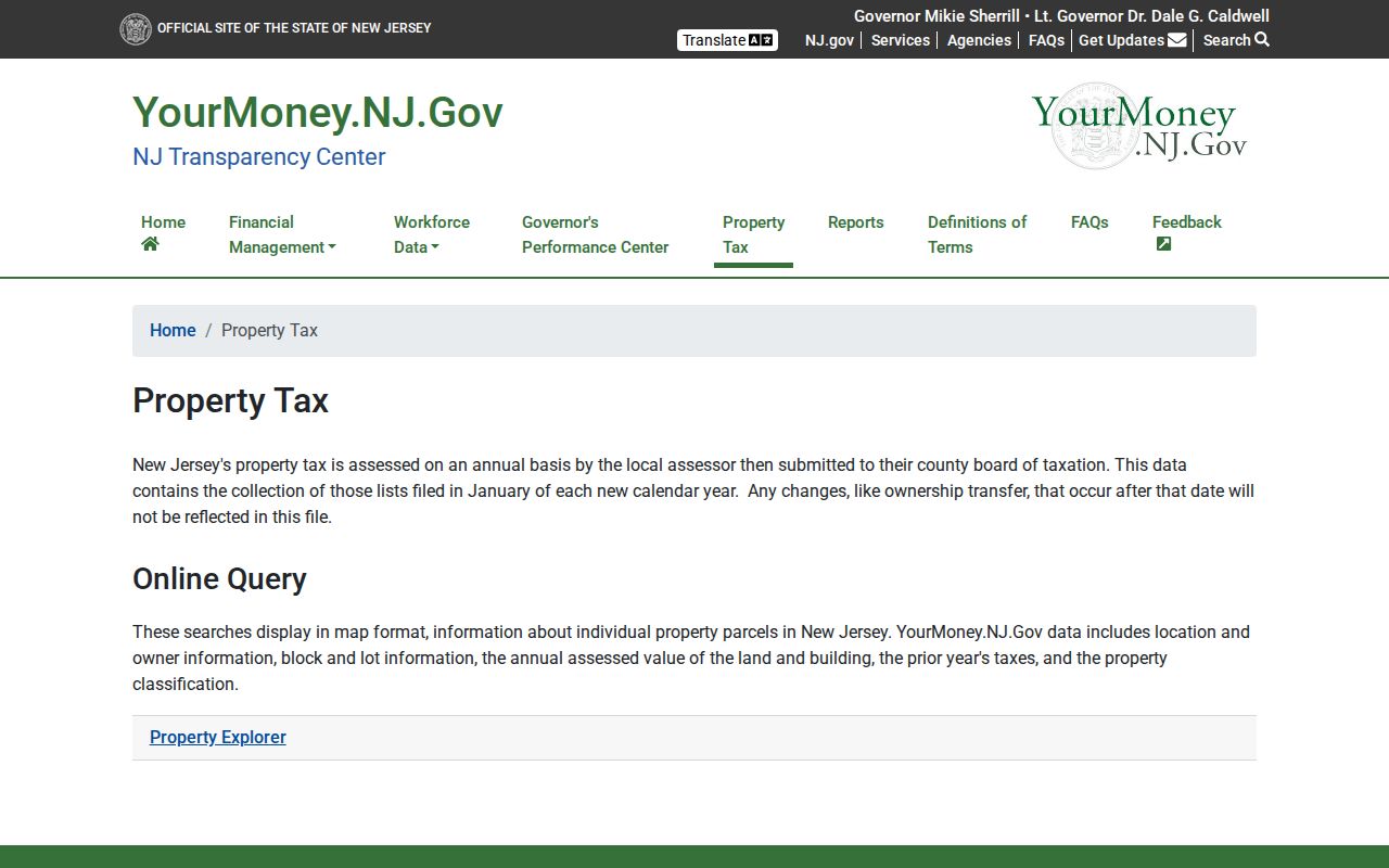
Check the list date before treating a Vernon Township result as current, because transfers after January 1 may not appear until a later annual list.
Vernon GIS Parcel Context
County GIS is a map context tool, not a verified whole-street resident search. Search or zoom to the Vernon Township road, select the target parcel polygon, and note the map geometry, block and lot, and any tax or document link. Then compare nearby polygons only as separate parcels. The official county material confirms interactive maps, open-data browsing, and a Tax Parcel Document Viewer tutorial, but it did not document a named radius or buffer tool for Vernon.
Sussex County GIS Management provides the county’s official GIS and open-data entry point.
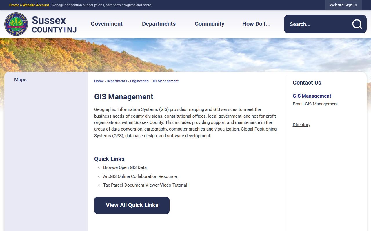
The county page supports map and parcel research, while the exact live attributes shown for an individual Vernon Township parcel must be confirmed in the viewer.
The Sussex County map page links the interactive county map resources used to place a Vernon Township address in its municipal setting.
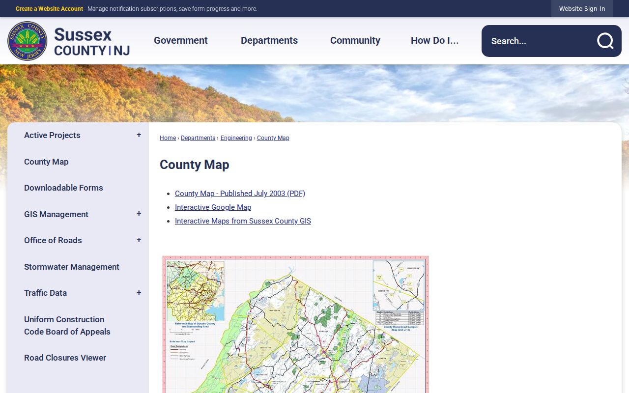
Use a saved map date and parcel identifiers when comparing a road segment. Geometry can change in a later map update even when tax attributes do not.
Vernon Street Directory Deed Trail
The deed trail starts with a parcel and turns into a party search. In RecordsNG, search the current owner as Party, narrow by Document Type to deed when available, and use the received-date range to manage a common name. Read the purchase instrument for the grantor, grantee, recording date, instrument number, book and page, legal description, and prior-reference language. Search spelling variants separately because the index accepts surname-first and partial-party searching.
RecordsNG documents Party, Document Type, Instrument Number, and Book/Page tabs. Book/Page mode requires a Book Type, and the help material distinguishes modern OR and legacy book categories. Its result controls can sort headings, filter columns, show details or images, and offer PDF or print tools. A live Vernon deed row and the current image fee were not captured, so image access should be checked before relying on it.
A typical Sussex County RecordsNG deed-index result can supply these documented fields:
- Party name, including grantor and grantee variants.
- Document type, such as deed, mortgage, lien, UCC, or map.
- County recording or received date.
- Instrument or control number.
- Book and page placement where applicable.
- Document-tab image navigation and PDF or print controls.
Electronic deeds, mortgages, and maps extend from 1950 forward. Liens have a 2007 electronic starting point. When a Vernon Township street trail reaches the online cutoff, the County Clerk’s Records Room in Newton holds older deed documents back to 1785. A street name alone is a weak historic key, so carry the legal description, block and lot, and related party names into the older books.
Vernon Addresses Have Four Meanings
Vernon Township street research often compares four labels that look alike but answer different questions. USPS validates a delivery format. A situs address locates the parcel. A tax mailing address directs correspondence. A deed legal description describes the land itself. The comparison matters most around lake communities and border roads, where a postal city can differ from the municipality that taxes the parcel.
This is the local postal quirk: 07462 is Vernon’s principal postal identity, but official New Jersey records also show Vernon Township address evidence using labels including 07418, 07422, 07460, 07461, and 07889. The research did not capture a complete USPS residential-boundary table for those labels. Verify each current delivery result with USPS, and use the parcel jurisdiction rather than the ZIP to decide whether an address is in Vernon Township.
Note: No documented Vernon Township street-renumbering project was located, so older searches should use community names, route numbers, tax maps, and legal descriptions rather than assume a renumbering year.
Vernon Street Directory Voter Limits
New Jersey Voter Search is a confirmation tool for a known person, not an unrestricted street roster. The research did not capture the live form’s exact labels, so follow the current identity fields on the official screen rather than assuming a particular date-of-birth, county, or ID combination. For a list request, the Sussex Board of Elections is the local route. A written request should identify Vernon Township, the election district or street, the year, the list type, and a delivery method.
The official New Jersey Voter Search provides the public registration-check entry point.
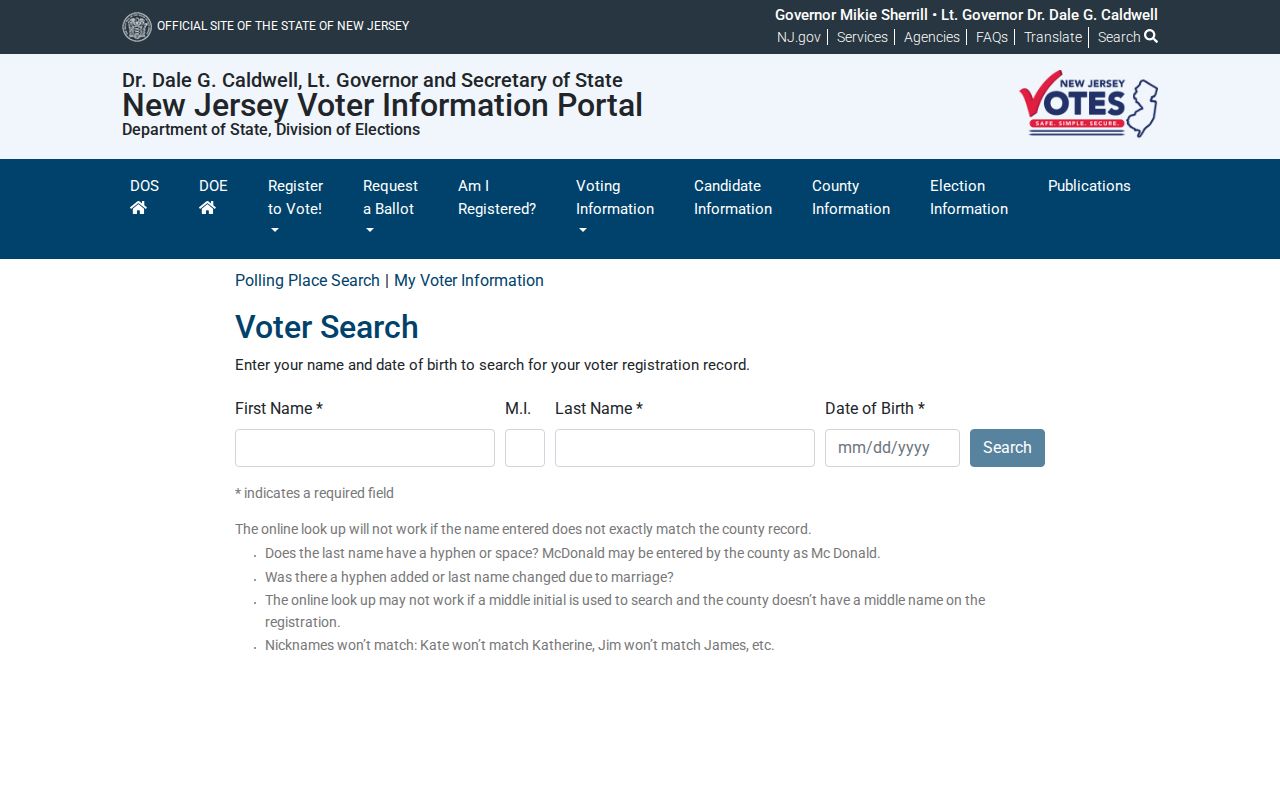
Under N.J.S.A. 19:31-18 and 19:31-18.1, the public registry and broader election system do not expose the same fields. Signatures, original forms, and identifying numbers are controlled, protected addresses may be substituted or omitted, and list use has statutory limits.
Vernon Street Directory Permit Dates
Vernon Building, Planning, and Zoning records can place a date around construction, additions, pools, septic or well work, inspections, and certificate events. They identify a regulated project and its applicant or owner role, not every person at an address. The Vernon Township Building Department points users to the SDL portal and written inspection process. The exact dynamic search fields and earliest digitized record year were not located, so use the current portal or office instructions for a specific request.
Permit timing can support a parcel narrative when it is paired with the tax map and recorded deed. It should not replace an ownership instrument or be treated as proof of continuous residence.
Vernon Street Search Boundaries
No verified Vernon Township public source lists every person inside a house. Assessment records generally identify assessed ownership. Voter sources cover registered voters under state rules. Permits identify people linked to regulated work. Historical material captures a particular publication or event date. Utility and delivery customer lists were not located as public data, and motor-vehicle address information is restricted by the federal Driver’s Privacy Protection Act.
Lawful use. Use Vernon Township address records for personal, lawful research such as family history, property context, or civic questions. Do not use public information to stalk, harass, intimidate, or harm anyone.
ACP participants and people covered by Daniel’s Law can have a substitute or suppressed address. A missing result may reflect a privacy protection, a redaction, an annual update cycle, or a coverage gap. It is never proof that a person has no Vernon Township connection.
Vernon Street Research Requests
When an online path stops, make the request narrow enough for the custodian to find the record. The New Jersey Open Public Records Act, N.J.S.A. 47:1A-1 et seq., is the access framework for government records subject to exceptions and redactions. The state OPRA guidance explains the general process, while Vernon and Sussex County each keep their own request routes.
- State the Vernon Township street address and unit, if any.
- Include the block and lot, map sheet, or legal description when known.
- Name the desired record, such as a tax item, permit, map, or recorded instrument.
- Give a useful date range rather than asking for every record tied to a street.
- Choose inspection, mail, email, or another offered delivery method, and set a maximum authorized cost where the form asks for one.
The Vernon Township OPRA form and policy describes local methods, response timing, and deposit language. The county form adds options for on-site inspection, mail, fax, and email. Specific requests help the office locate address records without asking it to create a new directory.